
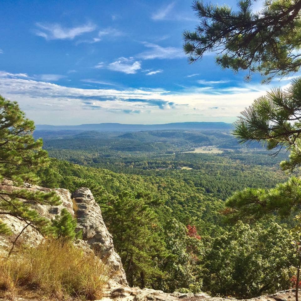
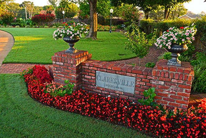
Clarksville, Arkansas serves as the Southern Gateway to the Ozarks and the Heart of the River Valley. Because Clarksville boasts so many unique natural elements, it will always serve visitors and residents alike with a diversity of experiences year-round!
|

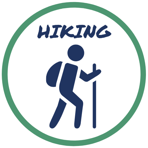
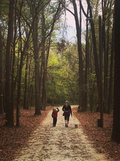
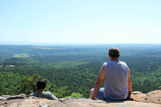
Hundreds of miles of hiking trails are sprawled throughout Clarksville and Johnson County. From a casual stroll on a paved path, to rugged uphill climbs through remote woodlands, there is a trail system for all ages and abilities.
Spadra Creek Nature Trail – Main St to S Rogers for 1.7 miles, destination will be on the right. Download Map Ozark Highlands Trail – HWY 21 N for 19.6 miles, turn right onto County Road 5550 for 1.7 miles destination will be on the left. Cedar Creek – HWY 21 N for 3 miles, right onto State Hwy 292 for 3.7 miles, left onto Hwy 123 N/164 E for 2.7 miles, slight left onto Hwy 123 N for 9.3 miles, then left onto County Road 5550/Forest Service Rd 1004 for 6.5 miles. Pack Rat Falls Trail – Hwy 21 N for 3 miles, right onto State Hwy 292 for 3.7 miles, left onto Hwy 123 N/164 E for 2.7 miles, slight left onto HWY 123 N for 14.8 miles. Pam’s Grotto Trail – Hwy 21 N for 3 miles, right onto State Hwy 292 for 3.7 miles, left onto Hwy 123 N/164 E for 2.7 miles, slight left onto HWY 123 N for 15 miles. Hurricane Creek – Hwy 21 N for 3 miles, right onto State Hwy 292 for 3.7 miles, left onto Hwy 123 N/164 E for 2.7 miles, slight left onto HWY 123 N for 16.2 miles, then left onto Big Piney Creek Road for 0.2 miles. Ozone Trailhead – HWY 21 N for 16.8 miles, then left onto Forest Service Road 1456 for 85 ft. |

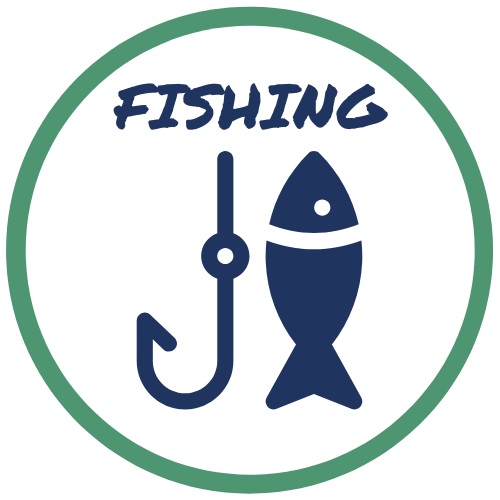
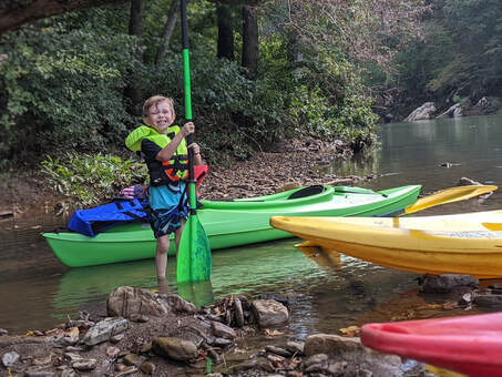
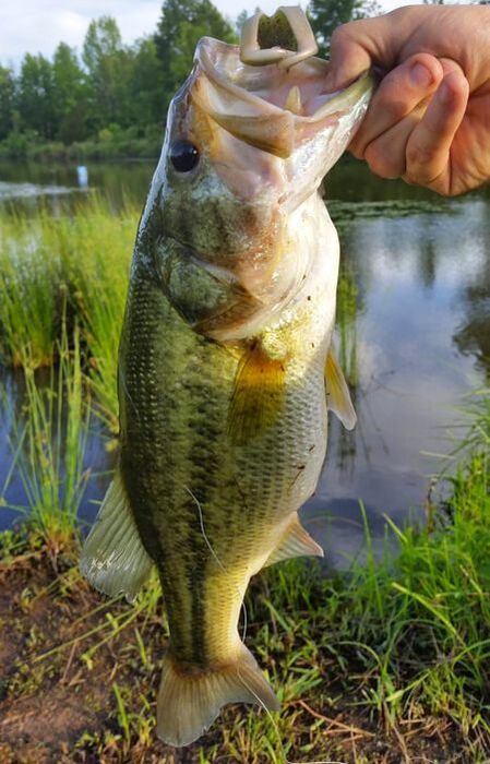
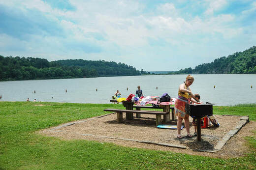
Float, fish, swim, and play in our rivers and lakes around Clarksville. We boast some of the best Catfish, Bass, and Crappie fishing in the South! When you catch your limit, take a cool dip at Ludwig and Horsehead Lakes, or float the Spadra, Mulberry, & Buffalo Rivers in a kayak!
Lake Ludwig - has a boat launch, public beach, and secluded lots for swimming. North on HWY 21, left on CR 3566 or 3568 Horsehead Lake - public beach with facilities, great canoeing/kayaking. Sedan sized vehicles not recommended due to submerged river crossing. NW up HWY 103, left on HWY 164, right on FS 1408. For more information, click here. Little Piney Creek - Put in/Take out Points: CR 5550, left on 4670 / CR 1813 / Hagarville HWY 164 - Twin Bridges / HWY 359 & CR 456 / Piney Bay Big Piney Creek - Put in/Take out Points: Fort Douglas Bridge (a few miles past Haw Creek Falls), Longpool Spadra Creek Marina (Clarksville) - Put in/Take out Points: Kings Canyon on Spadra Creek / Cherry Street Bridge / Iron Bridge on Spadra Nature Trail / Spadra Marina & Park in Jamestown flowing into the Arkansas River Mulberry River - For information, click here and here. Buffalo National River - For information, click here. Arkansas River - For information, click here. |
|
|

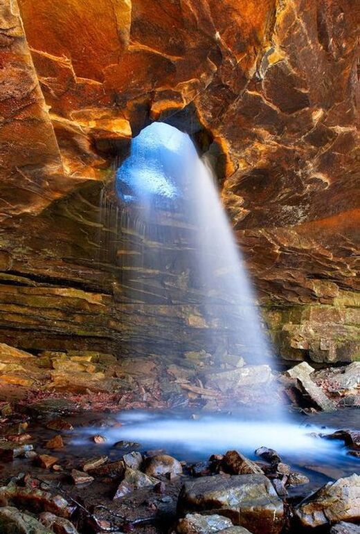
A little known secret about Johnson County is that we are considered the Waterfall Capitol of Arkansas! Just minutes from Clarksville, a dozen waterfalls are waiting to be explored. Check out the Clarksville/JOCO Chamber of Commerce for a detailed brochure about our local waterfalls.
Strawberry Bluffs - N up HWY 21, right on HWY 292 for about 3.7 miles, left and head north on CR 3631, continue N on CR 3631 for about 4 miles, left at CR 4631. Continue heading up the hill on 4631 for about a mile and the bluffs should be few hundred feet from the road.
Glory Hole - The trailhead is on Arkansas Routes 16/21, exactly 6.3 miles north of Fallsville, and 2.3 miles south of the 16/21 junction near Swain. The trailhead is unmarked, and there's only room for a couple of cars to park beside the road. If you're coming from the north, look for a dirt-road turnoff on the left side of the road (the dirt road is the trail). |

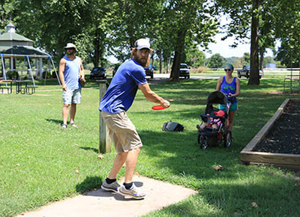
Cline Park - Located on Meadow Place, Cline Park is one of Clarksville’s largest parks. You'll find playgrounds, baseball fields, horseshoe pits, an 18-Basket disc golf course, a fishing pond, and more.
In 2022, Clarksville completed City Park - Features a playground, pavilion, a dog park, a full-size baseball field, and a skate park. Dog Park - Half acre, fully fenced and gated park for dogs to run free and enjoy themselves. The park contains two gated sections. One section is for large dogs and the other is for small dogs. Water is available. Skate Park - Contains quarter pipes, stairs, rails, a spine, mini ramps, and benches Pocket Park - Located at the junction of Main and Rogers streets in the heart of Clarksville. The park features a beautiful bouquet of colorful flowers, trees, and greenery. Great for photo ops during spring, summer, and fall! |
|
|

Planning a family camping/glamping trip? The Ozark Mountains (Our Backyard) is a great place to sleep under the stars, but you are still close enough to smalltown amenities when you need them.
Spadra Park - S on HWY 103 onto Jamestown Rd
Horsehead Lake Campground - NW up HWY 103, left on HWY 164, right on FS 1408. For more information, click here. Haw Creek Falls - Located on AR Hwy 123, approx. 12.7 miles South/West of Pelsor (Hwy 7), and approx. 14.5 miles North of Hagarville (Hwy 164). Ozone Recreation Area and Campground - N HWY 21 18 miles. |